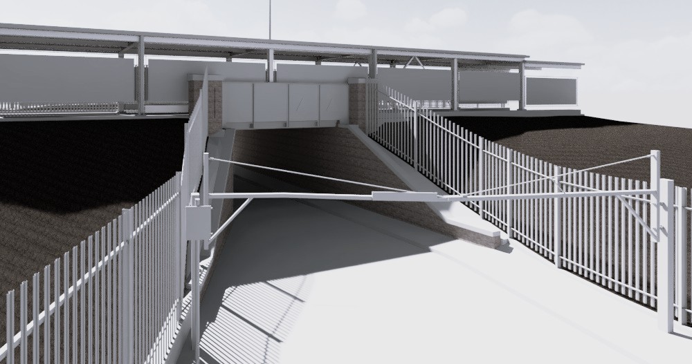
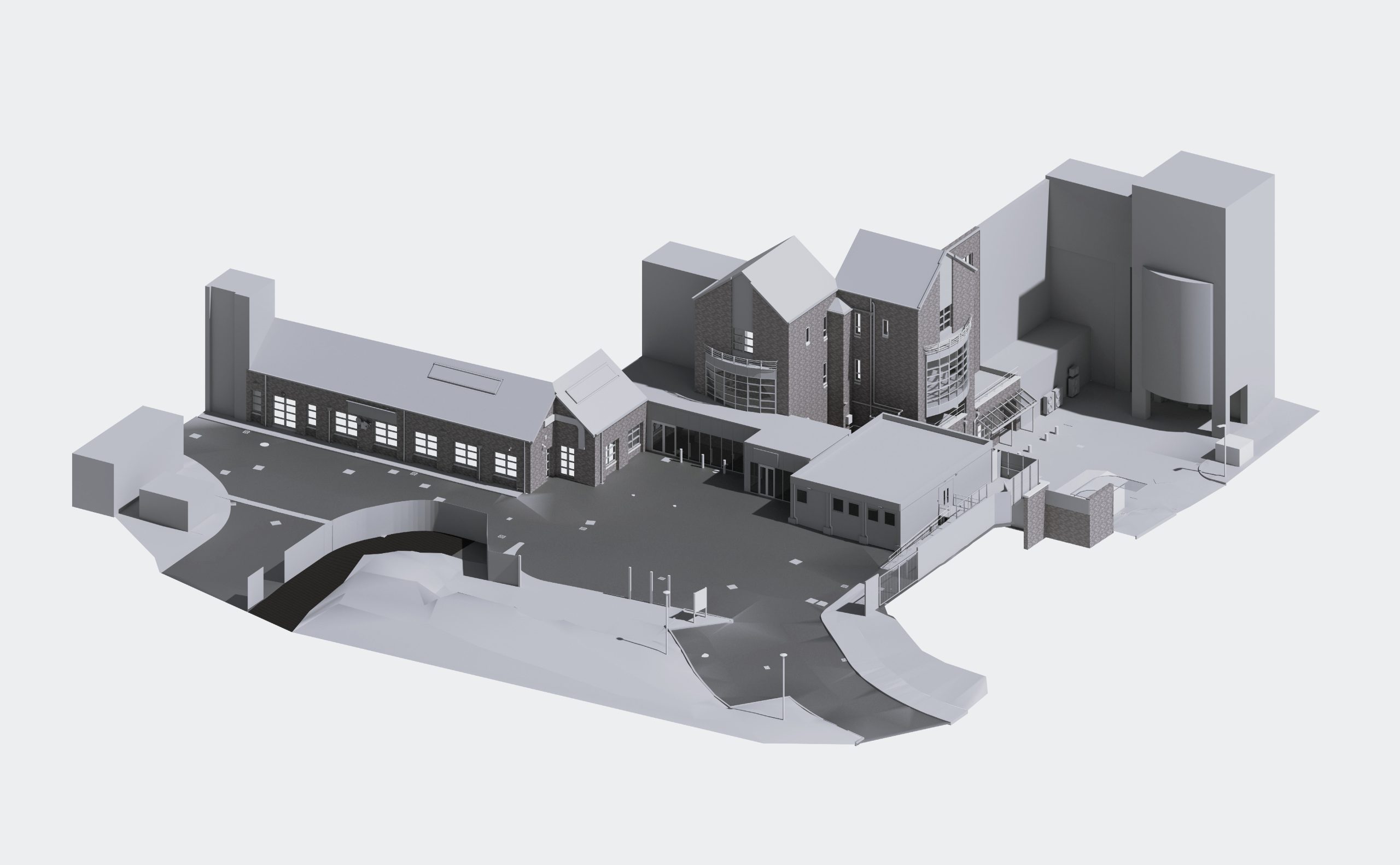
This project involved the development of a comprehensive 3D model of a large and complex urban area using survey point cloud data. The work focused on accurately capturing a range of existing and proposed elements, including buildings, road networks, bridges, underground car parks, and the historic Roman wall, ensuring both geometric precision and contextual coherence across the site.
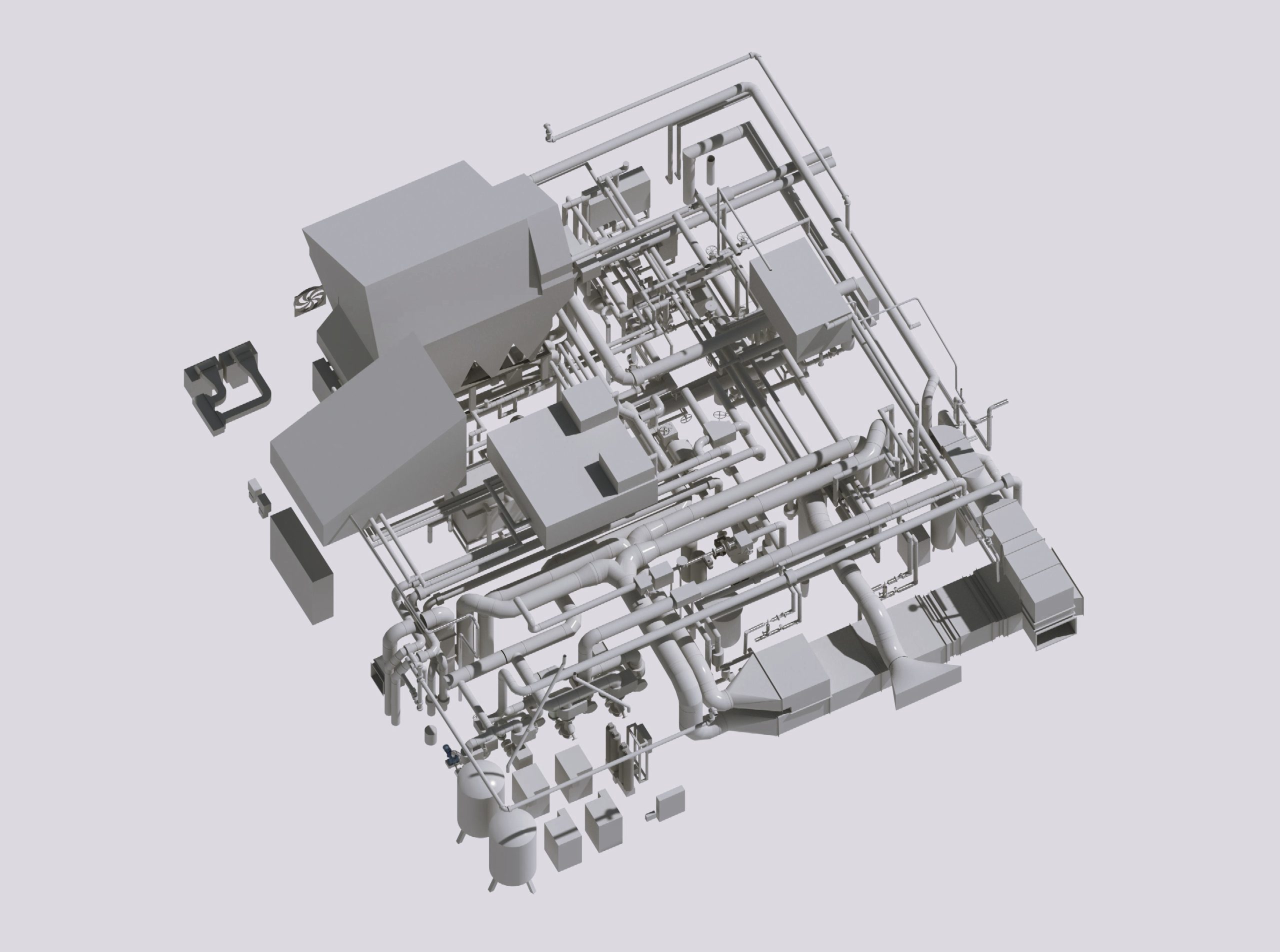
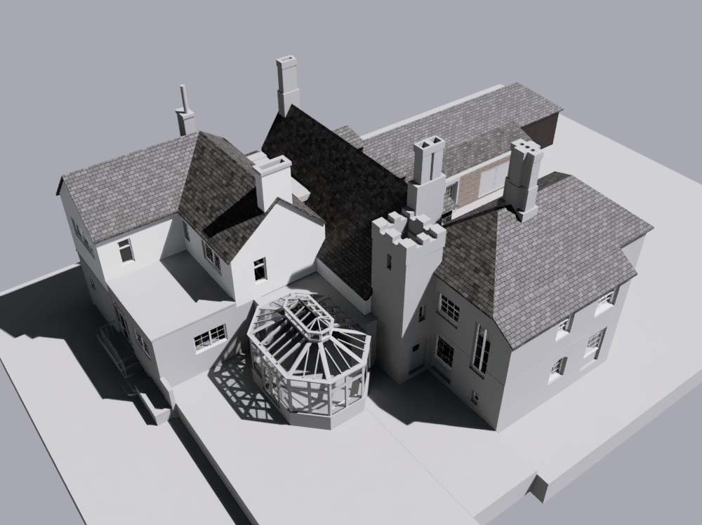
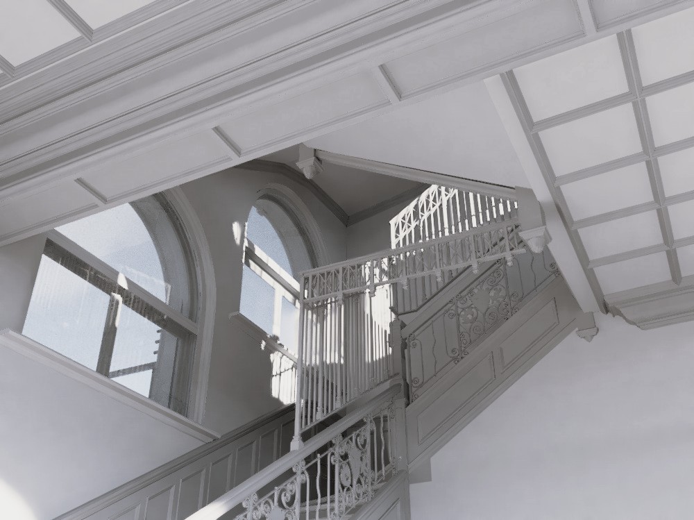
Particular attention was given to capturing ornate architectural features, requiring careful interpretation of complex geometries and intricate detailing. In addition to the architectural components, the model incorporated structural elements and exposed MEP systems, resulting in a comprehensive and information-rich representation of the building.